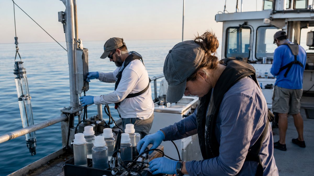
NOAA's Summer Forecast Points to a Larger Gulf Dead Zone
NOAA is forecasting an above-average Gulf of Mexico dead zone this summer, a seasonal low-oxygen area shaped by river flow, nutrient runoff and algae growth.
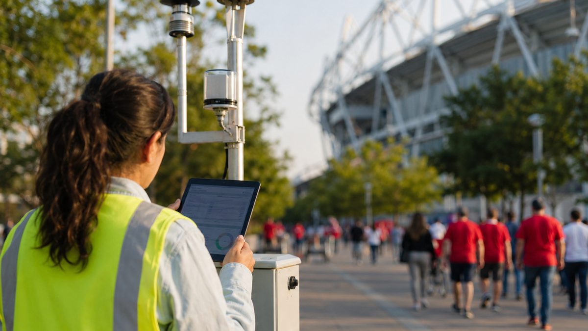
NASA Air-Quality Data Is Helping Track Pollution Around World Cup Crowds
NASA air-quality data is supporting CDC planning during World Cup 2026, helping public-health teams watch conditions around large crowds and host cities.
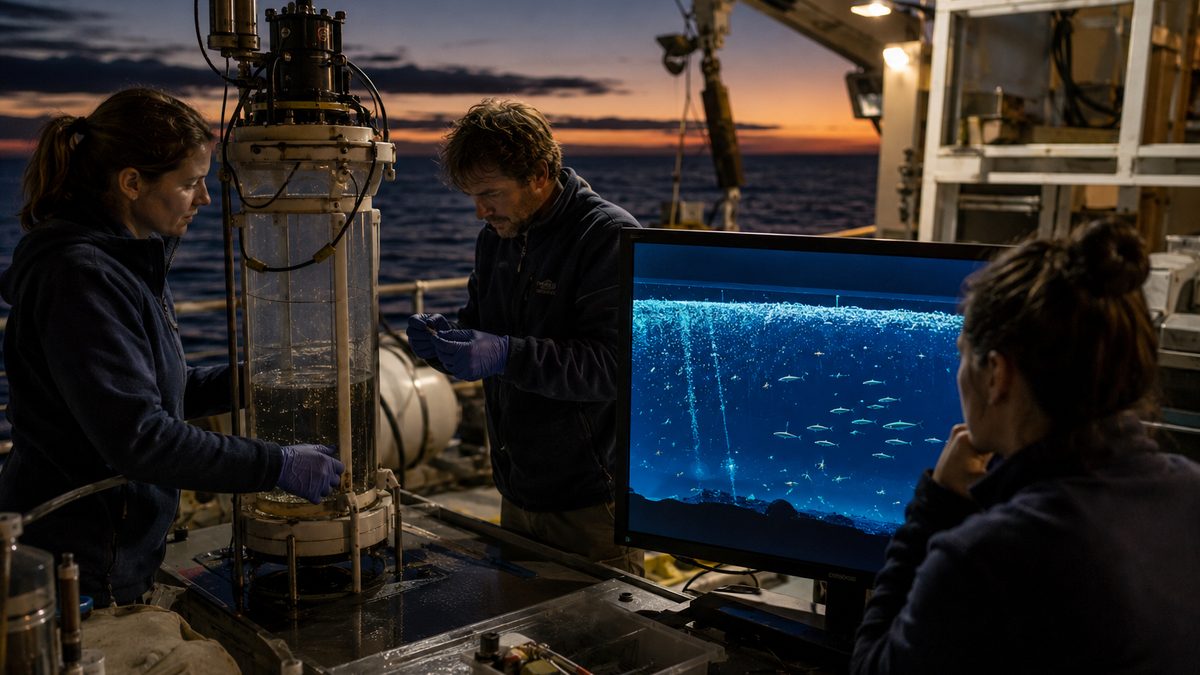
The Ocean Twilight Zone Helps Control Earth's Carbon, and Most People Never See It
The ocean twilight zone is a dim mid-water world where fish, plankton and daily migrations help move carbon from the surface into the deep sea.
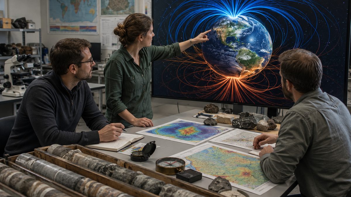
What Would Actually Happen if Earth's Magnetic Poles Flipped?
Earth's magnetic field has reversed many times over millions of years. Scientists say it is a natural process—not the sudden global catastrophe often portrayed online.
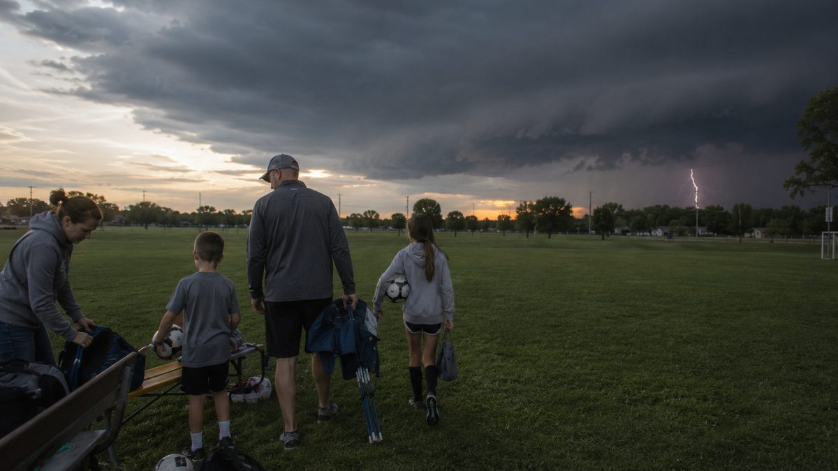
Why Lightning Can Strike Before the Storm Arrives
Many people assume lightning is only dangerous when rain is falling overhead. Weather experts say the risk often begins earlier and can continue after the rain ends.

Why Beaches Disappear and Reappear Without Anyone Noticing
Beaches may look permanent, but waves, storms, seasons and human work constantly move sand along the shore and sometimes bring it back.
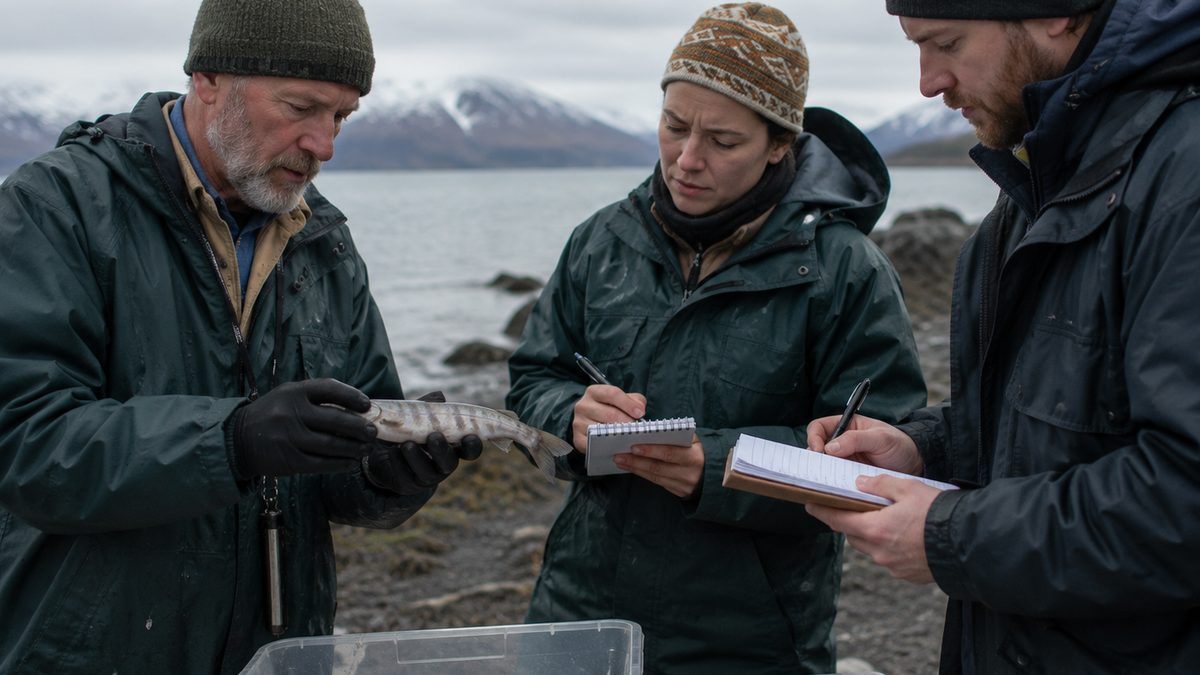
Pink Salmon’s Great Lakes Spread Offers Lessons for a Warming North Atlantic
NOAA-led research on pink salmon in the Great Lakes may help North Atlantic and Arctic communities understand a fast-spreading fish.
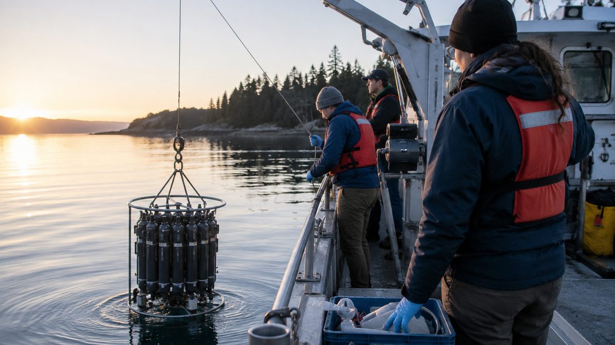
NOAA Is Tracking Ocean Acidification From Coast to Coast
NOAA research missions are measuring changing ocean chemistry, a science issue that can affect shellfish, fisheries, reefs and coastal economies.
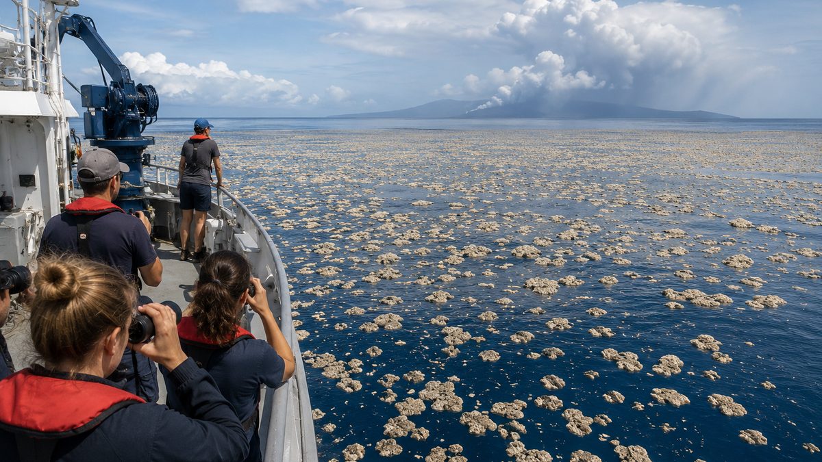
A Floating Raft of Volcanic Rock Is Spreading Across the Pacific
Satellite observations show a large pumice raft drifting across the Pacific after an undersea volcanic eruption, offering scientists a window into how volcanic activity can affect marine environments and coastal communities.
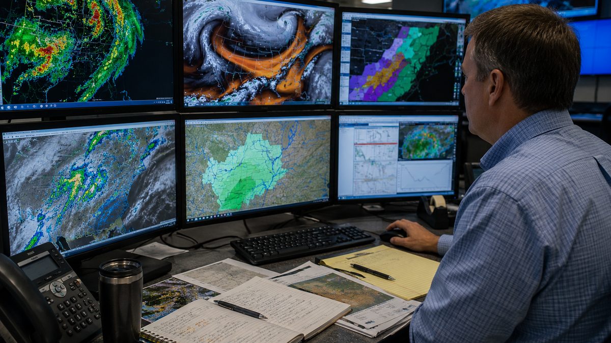
NASA's New Flood-Risk Tool Could Give Meteorologists More Time Before Flash Floods Strike
NASA and its partners have developed a machine-learning system designed to help meteorologists identify flash-flood risk more quickly, using satellite-based measurements of atmospheric moisture and human-reviewed forecasting workflows.
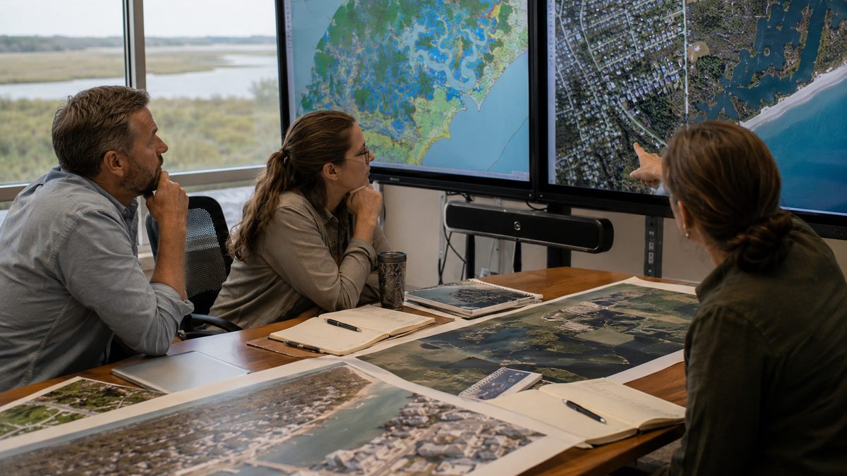
Better Coastal Maps Could Help Communities Prepare Before the Next Flood
NOAA has released new high-resolution coastal land-cover maps that reveal wetlands, pavement, trees, and waterways in far greater detail, giving communities new tools for planning around floods, storms, and environmental change.
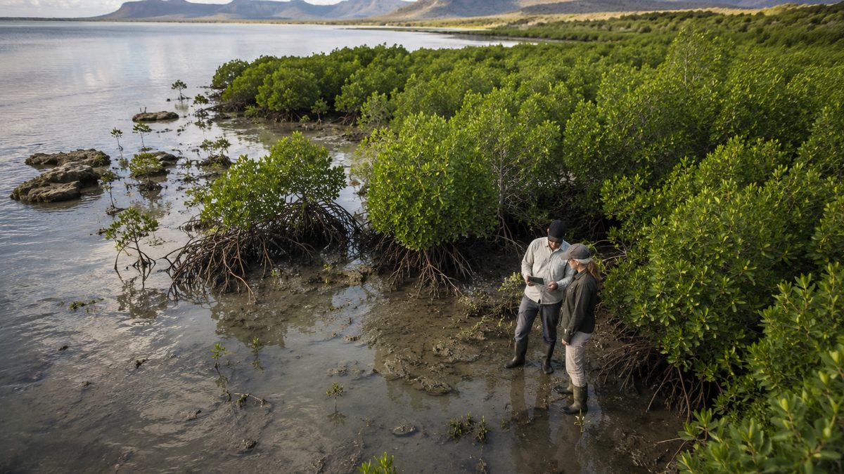
What 40 Years of Satellite Images Reveal About the Return of Mangrove Forests
A new study using four decades of satellite observations found that mangrove coverage has shifted from long-term decline to expansion in many parts of the world, though researchers caution the recovery remains uneven.
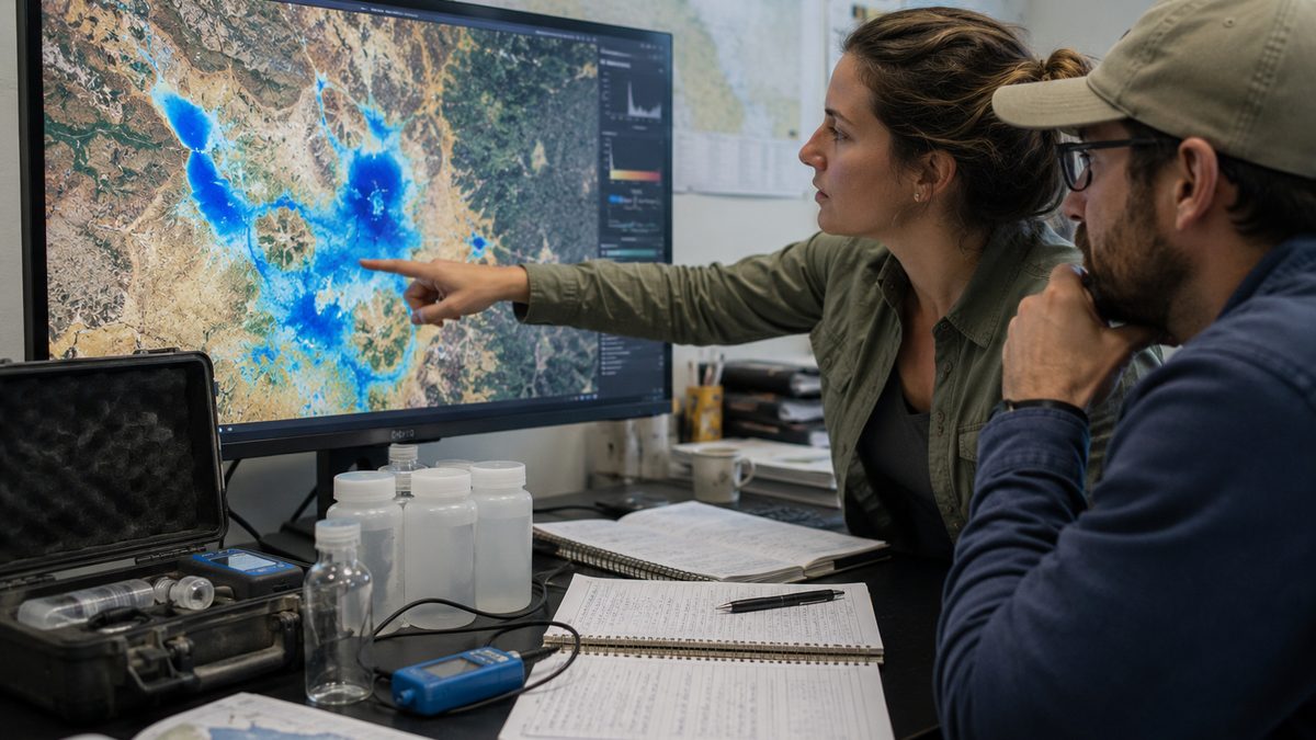
How Satellites Are Revealing Hidden Water Loss Beneath One of Brazil's Key Farming Regions
A NASA-supported study found persistent groundwater declines in several aquifers beneath central and eastern Brazil, showing how satellites can help scientists track water hidden far below the surface.
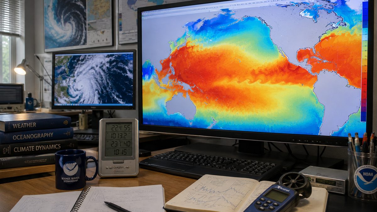
El Nino Is Back. What NOAA's New Forecast Does and Does Not Tell Us About Winter
NOAA says El Nino conditions have returned and could strengthen by winter, but scientists caution that the climate pattern shifts odds rather than guaranteeing local weather outcomes.
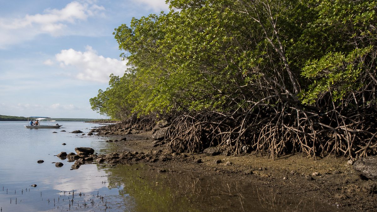
Satellite Records Show Mangroves Are Rebounding, With Important Caveats
NASA says four decades of Landsat observations show global mangrove coverage has shifted from long-term decline to expansion, though the recovery is uneven and threats remain.
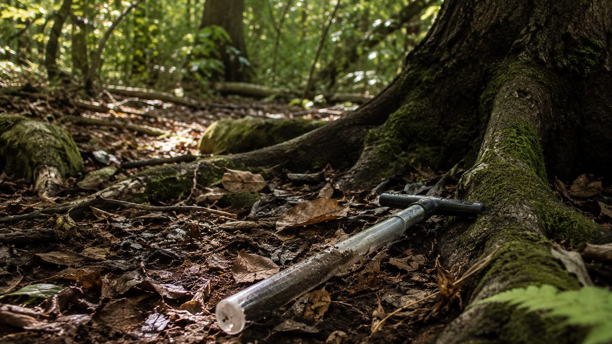
A Hidden Pollutant Is Changing How Forest Soils Store Carbon
New research adds detail to how nitrogen pollution can change forest soil respiration, a quiet process tied to carbon storage and ecosystem health.
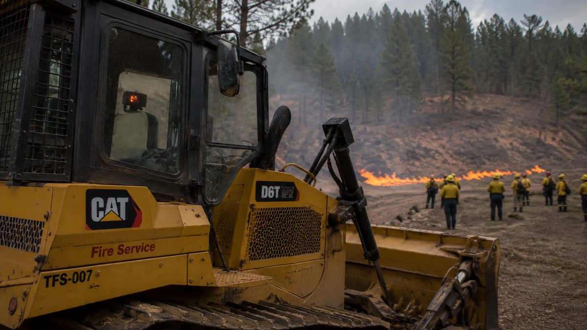
NASA's Fire Sensor Shows How Simple Tools Can Help Firefighters Stay Safer
NASA's FireSense project has developed low-cost heat sensors for fire bulldozers, giving operators a clearer warning when nearby flames make conditions dangerous.
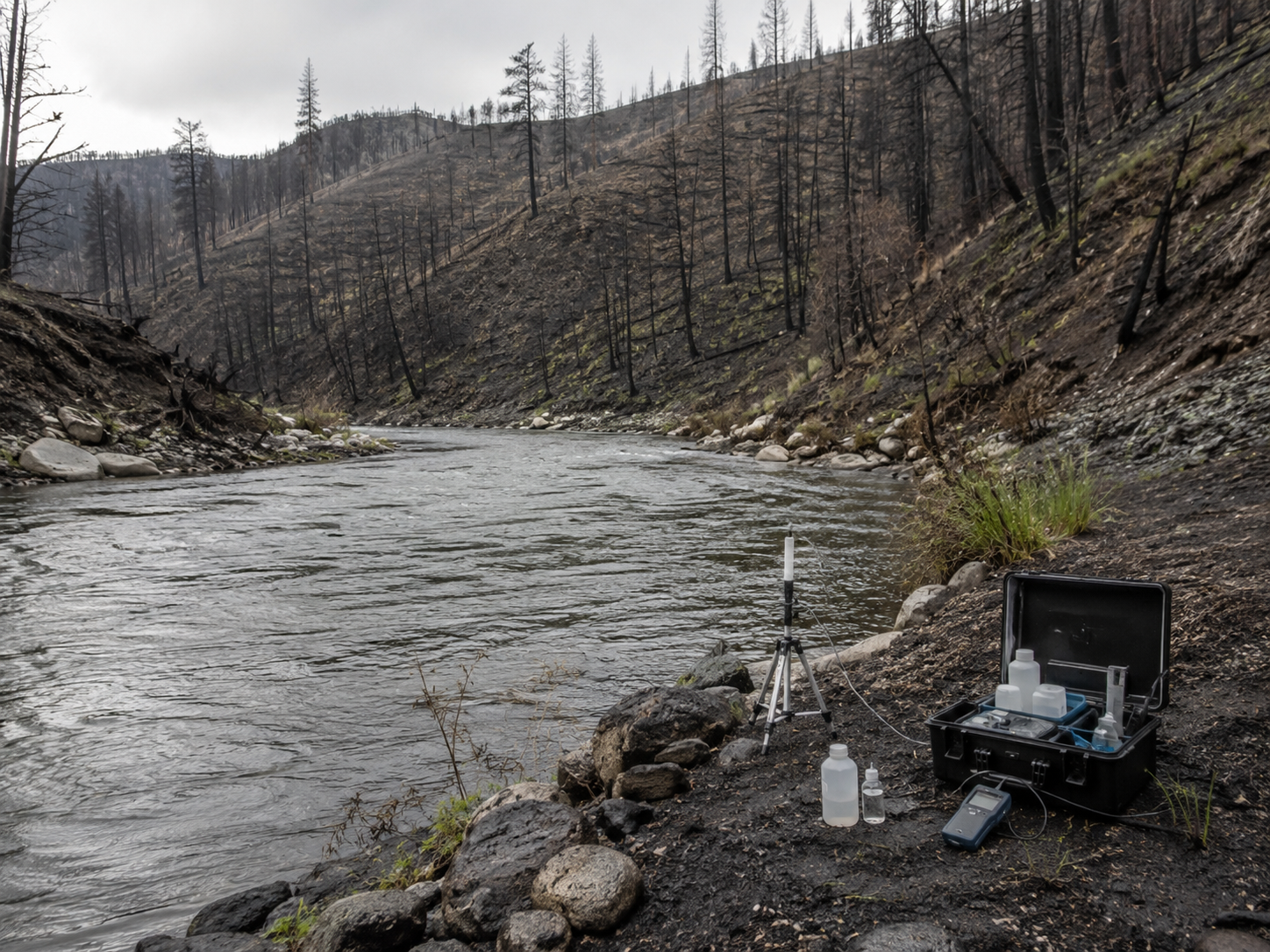
Rain After Wildfire Can Bring a Hidden Risk to Rivers
USGS-backed research shows how rain after a wildfire can create dangerous river conditions under certain circumstances, adding another reason water monitoring matters after the flames are out.