How Satellites Are Revealing Hidden Water Loss Beneath One of Brazil's Key Farming Regions
A NASA-supported study found persistent groundwater declines in several aquifers beneath central and eastern Brazil, showing how satellites can help scientists track water hidden far below the surface.
Save Article
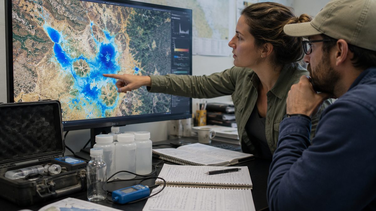
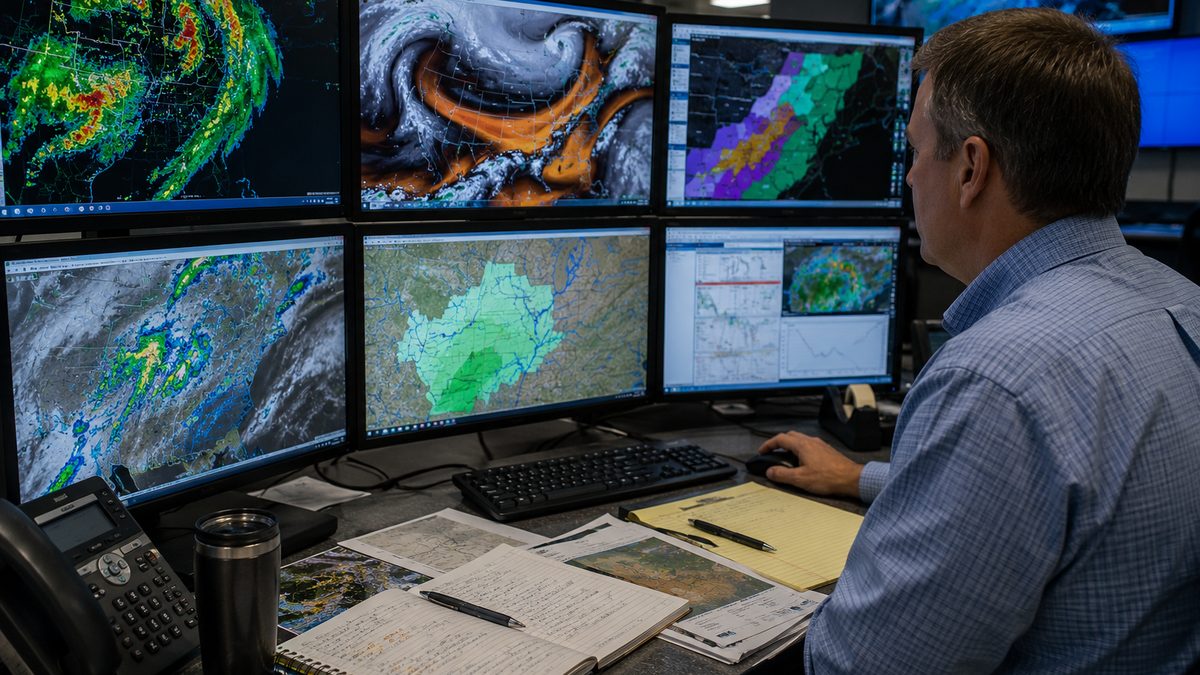
Satellite measurements can help scientists track water losses that are difficult to see from the ground. Editorial illustration by TheDailyGlobe.
Key Facts
- NASA reported the findings on June 5, 2026.
- The research was published in Science Advances on June 3, 2026.
- Scientists combined satellite observations, well measurements, geology data, and water-use records from 2002 through 2023.
- Several aquifers in central and eastern Brazil showed persistent groundwater depletion.
- The study relied in part on data from NASA's GRACE and GRACE Follow-On satellite missions.
Most of the world's freshwater cannot be seen from a riverbank or a reservoir. It sits underground in aquifers, slowly moving through layers of rock and soil. Because that water is hidden from view, measuring changes in groundwater has long been one of the more difficult challenges in Earth science.
Researchers studying Brazil's major agricultural regions have now used satellite observations and ground-based measurements to build a clearer picture of what is happening beneath the surface. Their findings suggest that several aquifers in central and eastern Brazil have experienced persistent groundwater declines over the past two decades, according to a study highlighted by NASA and published in the journal Science Advances.
Why Hidden Water Matters
Groundwater acts as a reserve that communities, farms, and ecosystems can draw on when surface water becomes limited. In major agricultural regions, aquifers often help support crop production during dry periods and seasonal swings in rainfall.
That makes groundwater important even when people rarely see it. Changes underground can influence water availability for years or decades, particularly in areas that depend heavily on agriculture. The regions examined in the study include parts of Brazil that play an important role in food production, making long-term water trends a practical concern for researchers and water managers.
How Scientists Can Measure Water From Space
One of the more surprising parts of the research is the way scientists collected the data. The GRACE and GRACE Follow-On satellite missions do not photograph groundwater directly. Instead, they measure tiny changes in Earth's gravity field.
Water has mass. When large amounts of water accumulate or disappear from a region, the local gravitational pull changes slightly. The satellites can detect those small shifts. By combining gravity measurements with information from monitoring wells, geological records, and water-use data, researchers can estimate how groundwater storage changes over time.
The approach allows scientists to study large regions that would be difficult to monitor using wells alone. It also provides a way to compare long-term trends across broad areas using a consistent set of observations.
What the Findings Show
According to NASA's summary of the research, several aquifers in central and eastern Brazil showed signs of persistent groundwater depletion between 2002 and 2023. The study focused on identifying and measuring those changes rather than assigning a single cause to every location.
Researchers used multiple sources of evidence to build their analysis. Satellite observations provided large-scale measurements, while well records and geological information helped confirm what was happening below the surface. Water-use data added additional context for understanding how groundwater systems have changed over time.
The findings do not suggest that every aquifer in Brazil is declining. They also do not establish that groundwater conditions are identical across the country. The study examined specific regions and aquifer systems, and the results should be understood within that regional context.
What Scientists Still Do Not Know
The research provides a clearer picture of groundwater trends, but it does not answer every question. One uncertainty is how quickly depleted aquifers might recover if water use changes or if future rainfall patterns become more favorable.
Researchers also have not identified a single management approach that would apply everywhere. Aquifers differ in their geology, recharge rates, and local water demands. As a result, conditions in one region may not translate neatly to another.
What Researchers Will Watch Next
Continued monitoring will likely be one of the most important next steps. Satellite missions such as GRACE Follow-On give scientists a way to track groundwater changes over long periods, making it possible to see whether trends continue, stabilize, or reverse.
For readers, the study offers a reminder that some of the most important environmental changes happen out of sight. The water beneath farms and communities may be invisible, but modern satellite systems are giving researchers new tools to understand what is happening underground and how those changes unfold over time.
Reporting note: Reporting draws on peer-reviewed research, NASA materials, scientific institution resources, public data, and reviewed background materials. This article was produced with AI-assisted research and reviewed by an editor before publication.