What 40 Years of Satellite Images Reveal About the Return of Mangrove Forests
A new study using four decades of satellite observations found that mangrove coverage has shifted from long-term decline to expansion in many parts of the world, though researchers caution the recovery remains uneven.
Save Article
Long-running satellite records can show how coastal ecosystems change across decades. Editorial illustration by TheDailyGlobe.
Key Facts
- NASA reported the findings on June 4, 2026.
- The research was published in the journal Science.
- Researchers analyzed Landsat satellite observations collected between 1984 and 2023.
- The study found a shift from long-term mangrove decline toward expansion in many regions.
- Scientists caution that recovery is not universal and threats remain in some locations.
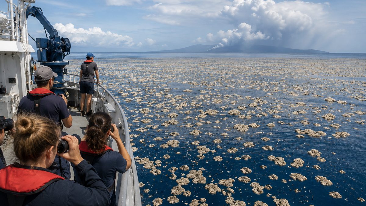
A person standing on a single shoreline can only see a small piece of a coastal ecosystem. A satellite passing overhead year after year sees something very different: coastlines changing, forests expanding or shrinking, and patterns that only become visible across decades.
That long view helped researchers identify a surprising trend in one of the world's most important coastal ecosystems. According to a study highlighted by NASA and published in the journal Science, global mangrove coverage appears to have shifted from long-term decline toward expansion in many regions, with the rebound beginning around 2010.
Why Mangroves Matter Beyond the Shoreline
Mangroves grow where land and sea meet. Their tangled roots help stabilize coastlines, reduce erosion, and provide habitat for fish, birds, and other wildlife. They also store large amounts of carbon, making them an important part of many coastal ecosystems.
Because mangroves sit at the intersection of ocean, land, and human activity, they are often exposed to multiple pressures at once. Development, pollution, erosion, severe storms, and land-use changes have contributed to losses in some areas over the years.
That history is one reason the new findings stand out. The study does not describe a problem that has disappeared, but it does suggest the global picture may be more complicated than a simple story of continuing decline.
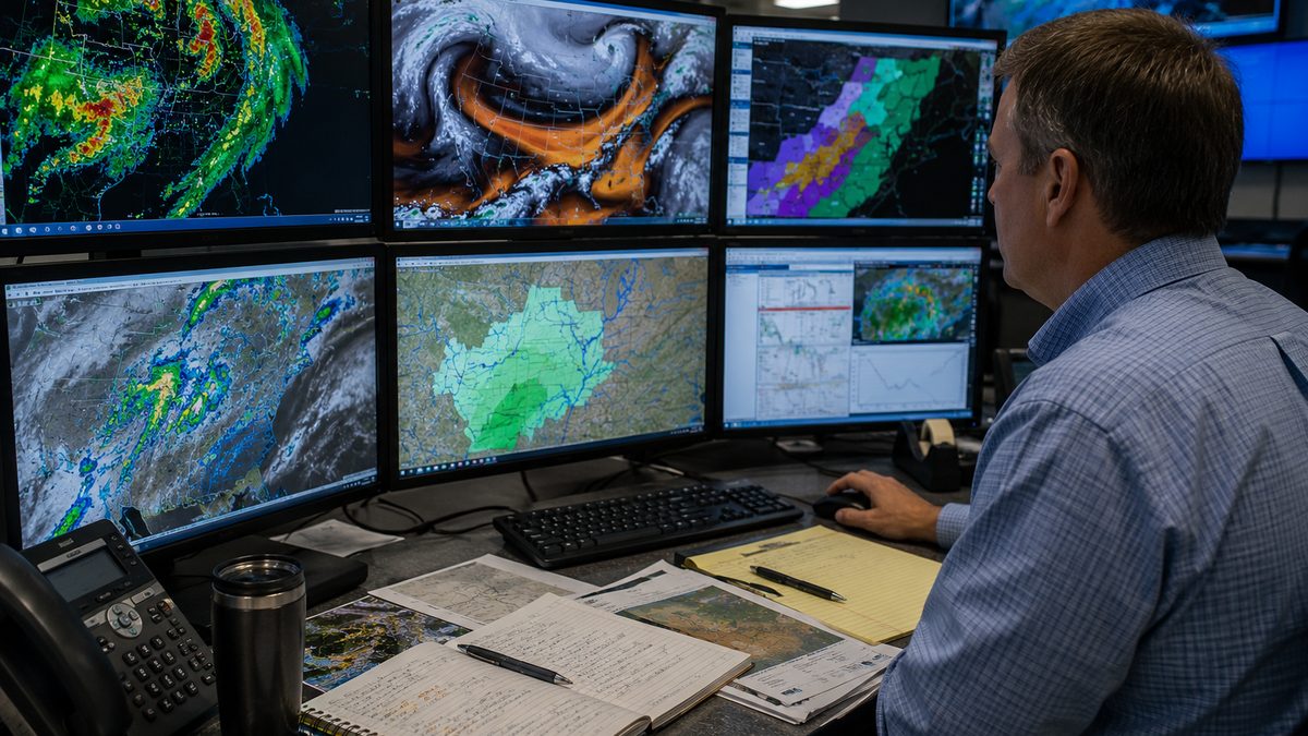
How Scientists Tracked Four Decades of Change
The research relied on imagery collected by the Landsat satellite program, a joint effort involving NASA and the U.S. Geological Survey. Landsat missions have been observing Earth's surface for decades, creating one of the longest continuous records of environmental change available to scientists.
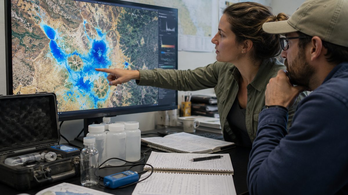
Using imagery collected from 1984 through 2023, researchers mapped changes in mangrove coverage across large portions of the world. A record spanning nearly 40 years allowed them to identify long-term trends that would be difficult to detect through short-term studies or observations from individual locations.
The analysis found that while mangroves experienced extended periods of decline, the broader pattern later shifted toward expansion in many regions. That transition, researchers reported, became visible around 2010.
What the Rebound Does and Does Not Mean
The findings offer evidence that recovery is occurring in many places, but researchers are careful about what the results can support. The study does not conclude that mangroves are thriving everywhere, nor does it suggest that future gains are guaranteed.
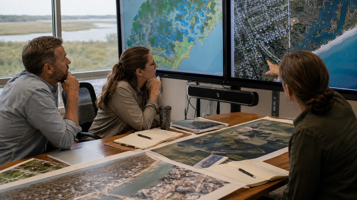
Environmental conditions vary widely from one coastline to another. Some regions continue to face pressures from development, habitat loss, pollution, erosion, and extreme weather events. A positive global trend can exist alongside ongoing challenges in specific locations.
That distinction matters because large-scale environmental stories are often framed as either success or failure. The satellite record points toward a more nuanced picture: meaningful recovery in many areas, continued vulnerability in others.
Questions Scientists Are Still Studying
Researchers say several important questions remain unanswered. One is whether the expansion seen in recent years will continue under future climate conditions and development pressures. Another is identifying which regions remain most vulnerable to future losses.
The study also does not establish a single reason for the observed rebound. Long-term environmental change often reflects multiple influences, including conservation efforts, natural ecosystem processes, local management decisions, and changing environmental conditions.
What Comes Next for Mangrove Monitoring
The value of the study extends beyond the findings themselves. It demonstrates how long-running satellite missions can reveal environmental patterns that are nearly impossible to observe from ground level alone.
As Landsat and other Earth-observing systems continue collecting data, researchers will be able to track whether recent gains hold up over time and where new challenges emerge. For now, the study offers a rare environmental story that is both encouraging and cautious: evidence that recovery is possible, paired with a reminder that recovery is not the same as permanence.
Reporting note: Reporting draws on peer-reviewed research, NASA materials, Landsat mission information, scientific institution resources, and reviewed background materials. This article was produced with AI-assisted research and reviewed by an editor before publication.