Better Coastal Maps Could Help Communities Prepare Before the Next Flood
NOAA has released new high-resolution coastal land-cover maps that reveal wetlands, pavement, trees, and waterways in far greater detail, giving communities new tools for planning around floods, storms, and environmental change.
Save Article
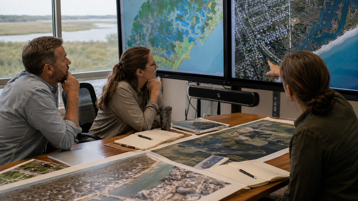
New NOAA mapping data provides a much more detailed view of coastal landscapes and land use. Editorial illustration by TheDailyGlobe.
Key Facts
- NOAA released new high-resolution coastal land-cover maps covering several U.S. regions.
- The agency says the maps are 900 times more detailed than previous 30-meter-resolution products.
- Covered areas include coastal Alabama, Mississippi, Northeastern Ohio, Rhode Island, and Washington state's Puget Sound region.
- The maps identify features such as wetlands, tree cover, pavement, waterways, and developed land.
- NOAA says the information can support planning related to flooding, water quality, habitat management, and coastal resilience.
When heavy rain falls or a coastal storm approaches, local officials often rely on maps to understand what is likely to happen next. The quality of those maps can influence decisions about drainage systems, wetland protection, emergency planning, and future development.
This month, the National Oceanic and Atmospheric Administration, or NOAA, released a new set of coastal land-cover maps designed to provide a much clearer picture of what exists on the ground. The agency says the new maps are roughly 900 times more detailed than older versions used for many planning and environmental applications.
The upgrade may sound technical, but the practical goal is simple: help communities see their landscapes more clearly before they face flooding, storm damage, or other environmental challenges.
What Land-Cover Maps Show
Land-cover maps are different from the road maps most people use every day. Instead of focusing on streets and addresses, they categorize what physically covers the landscape.
A land-cover map can distinguish between forests, wetlands, grasslands, pavement, buildings, water, and other surface types. Scientists, planners, engineers, and local governments use that information to better understand how water moves across the landscape and how natural systems are changing over time.
For coastal communities, those details can be especially important because wetlands, streams, developed areas, and shorelines all influence how an area responds to storms and flooding.
Why One Meter Makes a Difference
The biggest change involves resolution. NOAA's previous coastal mapping products generally used 30-meter pixels. The new maps use one-meter resolution.
That means a single map cell now represents a much smaller area on the ground. Instead of broad categories spread across larger sections of land, users can identify individual features with far greater precision.
In practical terms, planners may be able to distinguish narrow strips of wetlands, small creeks, isolated patches of tree cover, or pockets of development that would have been difficult to identify using lower-resolution data. The result is a more detailed picture of how natural and developed environments fit together.
How Communities Could Use the Data
NOAA says the maps can support a wide range of planning activities. Communities may use the information when evaluating flood-prone areas, studying water-quality concerns, tracking changes to wetlands, or identifying opportunities for environmental restoration.
Emergency planners may also benefit from a more detailed understanding of how water could move through different landscapes. Areas covered by pavement often behave differently than wetlands or forests during heavy rainfall events, and detailed land-cover information can help inform those assessments.
Researchers can use the maps to study environmental change, while local governments may incorporate the information into long-term infrastructure and land-management decisions.
What the Maps Do Not Solve
The release does not eliminate flood risk, predict future storms, or guarantee better outcomes for any particular community. Maps are tools, not solutions.
Even the most detailed mapping data cannot stop extreme weather, prevent coastal erosion, or resolve every challenge associated with development and climate-related risks. Local officials still need to decide how to use the information, and communities must determine what actions, if any, they want to take based on the findings.
The maps also represent snapshots in time. Landscapes continue to change as communities grow, wetlands shift, shorelines evolve, and infrastructure expands.
What Comes Next
For now, NOAA's new maps are available for several coastal regions, including parts of Alabama, Mississippi, Ohio, Rhode Island, and Washington state. The agency has not announced exactly which additional regions may receive future updates.
One question is how quickly local governments, researchers, and planning agencies will begin incorporating the new information into their work. Better data can create new opportunities, but only if it is actively used.
The broader lesson is that many environmental decisions begin with understanding what exists on the ground. NOAA's latest mapping effort does not change the weather, but it does give communities a sharper view of the places they are trying to protect, manage, and prepare for before the next major storm arrives.
Reporting note: Reporting draws on NOAA materials, environmental reporting, coastal science resources, and reviewed background materials. This article was produced with AI-assisted research and reviewed by an editor before publication.