NASA's New Flood-Risk Tool Could Give Meteorologists More Time Before Flash Floods Strike
NASA and its partners have developed a machine-learning system designed to help meteorologists identify flash-flood risk more quickly, using satellite-based measurements of atmospheric moisture and human-reviewed forecasting workflows.
Save Article
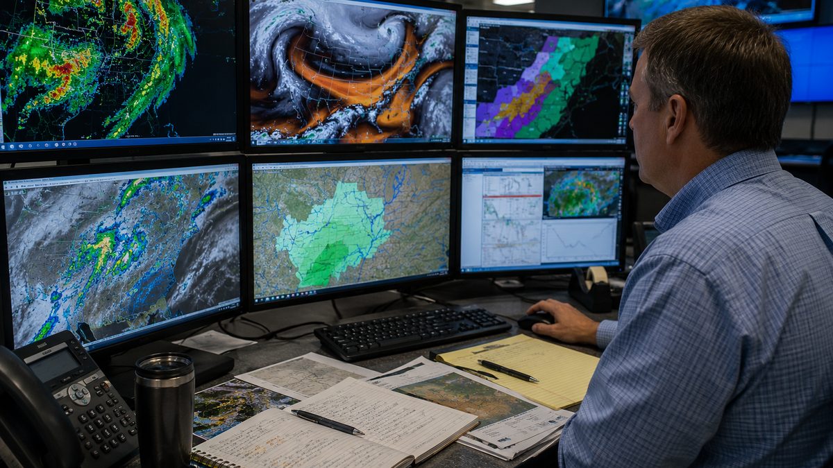
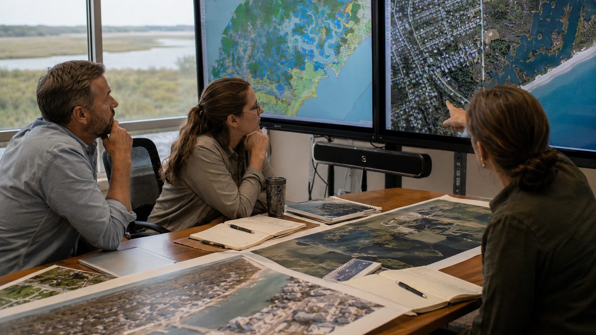
New forecasting tools can help meteorologists sort through fast-changing weather data before flash floods. Editorial illustration by TheDailyGlobe.
Key Facts
- NASA described the TACLS forecasting system in a June 16, 2026 update.
- TACLS combines continuously operating satellite-network data with machine-learning models.
- NASA says the system can generate forecasts in as little as 15 minutes.
- Simulation testing captured 93% of flash-flood warnings that were ultimately issued, according to NASA.
- National Weather Service meteorologists are working to incorporate the tool into forecasting operations in Southern California.
Flash floods are among the fastest-developing weather hazards in the United States. A storm that appears manageable one moment can overwhelm roads, streams, and neighborhoods not long afterward. In many cases, minutes matter.
That is why meteorologists are constantly searching for ways to identify dangerous conditions earlier. This week, NASA highlighted a new forecasting tool called TACLS that uses satellite-based observations and machine learning to help forecasters recognize flash-flood risk more quickly.
The system is not designed to replace weather experts or automatically issue warnings. Instead, it is intended to help meteorologists sort through large amounts of atmospheric data and spot potential trouble before a flood emergency develops.
Why Atmospheric Moisture Matters
One of the biggest challenges in flash-flood forecasting is determining when the atmosphere contains enough moisture to support intense rainfall. Storms do not become dangerous solely because clouds are present. The amount of water vapor available in the atmosphere often plays a major role in how much rain eventually falls.
TACLS focuses on that question. The system uses measurements gathered through Global Navigation Satellite System networks, sometimes known as GNSS networks. These include ground-based receivers that interact with navigation satellites already orbiting Earth.
As satellite signals pass through the atmosphere, moisture can slightly delay them. Scientists can analyze those delays to estimate how much water vapor is present overhead. The result is a continuously updated picture of atmospheric moisture that may reveal changing conditions before heavy rainfall develops.
How Machine Learning Fits Into the Process
The machine-learning component helps analyze patterns within that data. Rather than requiring meteorologists to manually review every signal and measurement, the software looks for unusual combinations that have historically been associated with flash-flood-producing weather.
According to NASA, the system can rapidly flag areas where atmospheric conditions appear favorable for flooding. That information can then be reviewed by professional forecasters alongside radar imagery, weather models, rainfall observations, and other forecasting tools.
NASA reported that simulation testing showed TACLS captured 93% of issued flash-flood warnings. That figure comes from testing environments rather than broad real-world operational use, but researchers view it as evidence that the approach may provide useful forecasting support.
A Tool for Forecasters, Not a Replacement
Artificial intelligence and machine learning often generate headlines suggesting computers are replacing human expertise. NASA's description of TACLS points in a different direction.
The system is designed to assist meteorologists, not replace them. Human forecasters remain responsible for evaluating conditions, interpreting data, and deciding whether warnings should be issued.
That distinction matters because weather forecasting involves judgment calls that often depend on local knowledge, evolving conditions, and information from multiple sources. A machine-learning model may identify patterns, but public safety decisions still rest with trained professionals.
What Scientists Still Need to Learn
The project also comes with important limitations. NASA's published results describe testing and development work, but they do not prove the system will perform identically in every forecasting situation.
Researchers still need to learn how TACLS performs across a wider variety of weather events and geographic regions. Southern California has been a major focus of current integration efforts, but it remains unclear how quickly the technology could expand elsewhere.
It is also too early to conclude how much additional warning time the tool might consistently provide in day-to-day operations. Weather systems vary widely, and forecasting improvements often require years of evaluation before their full impact becomes clear.
What Comes Next
For now, National Weather Service meteorologists in Southern California are working to incorporate TACLS into existing forecasting workflows. That process will allow forecasters to compare the tool's assessments with other sources of weather information and determine how useful it becomes during real events.
The broader idea behind the project is straightforward. Better forecasts often begin with better information, delivered quickly enough for people to act on it. TACLS represents one attempt to do exactly that by combining satellite observations, atmospheric science, and machine-learning analysis into a tool that supports human decision-making.
Whether the system ultimately becomes a standard part of forecasting in more regions remains uncertain. What is clear today is that researchers are looking for new ways to help meteorologists recognize dangerous conditions sooner, and flash-flood forecasting is one place where even a small time advantage can matter.
Reporting note: Reporting draws on NASA science materials, NASA Earth Science Technology Office resources, technical project information, and reviewed background materials. This article was produced with AI-assisted research and reviewed by an editor before publication.