Satellite Records Show Mangroves Are Rebounding, With Important Caveats
NASA says four decades of Landsat observations show global mangrove coverage has shifted from long-term decline to expansion, though the recovery is uneven and threats remain.
Save Article
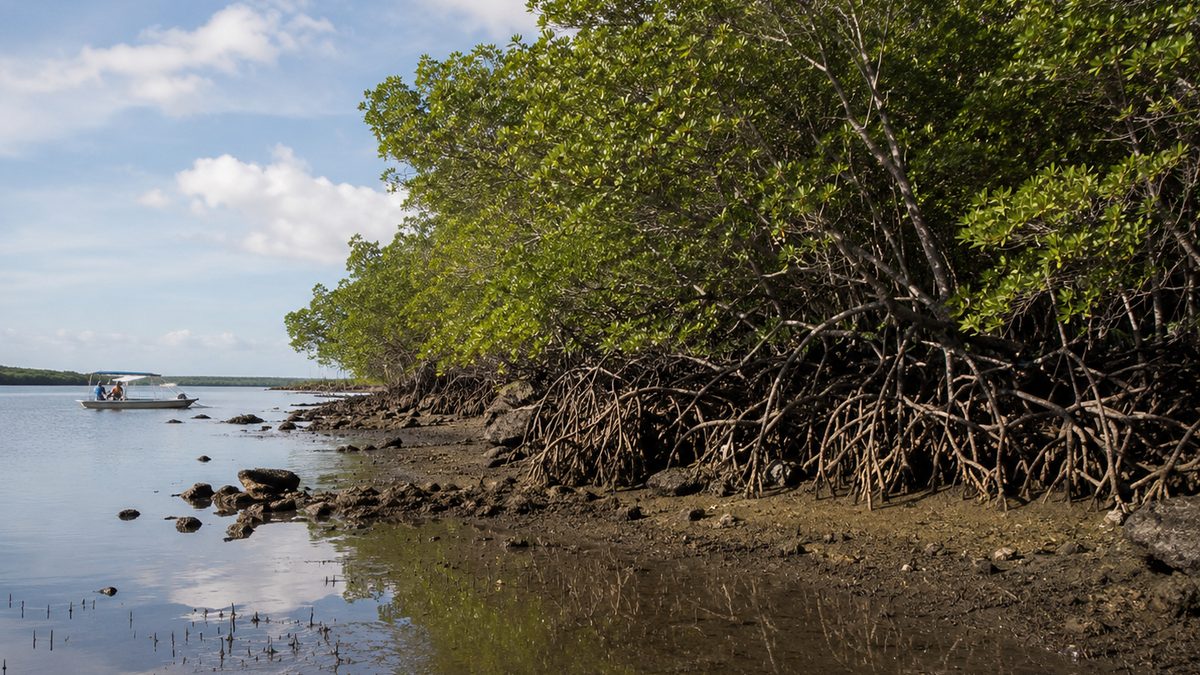
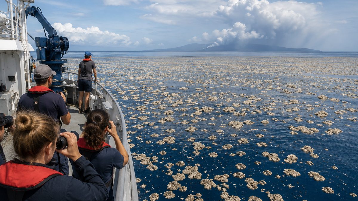
Satellite records are giving researchers a clearer picture of how mangrove forests are changing over time. Editorial illustration by TheDailyGlobe.
Key Facts
- NASA reported that Landsat images show mangrove expansion in the Padas River estuary in Malaysia between 2000 and 2023.
- NASA said four decades of Landsat observations show global mangrove coverage shifted from long-term decline to expansion, with the rebound beginning around 2010.
- The study used Landsat images to compile a global record of mangrove extent and canopy cover from 1984 to 2023.
- The finding does not mean mangroves are recovering everywhere or that the risks have passed.
- NASA said threats remain, including storms, erosion, pollution and deforestation in some regions.
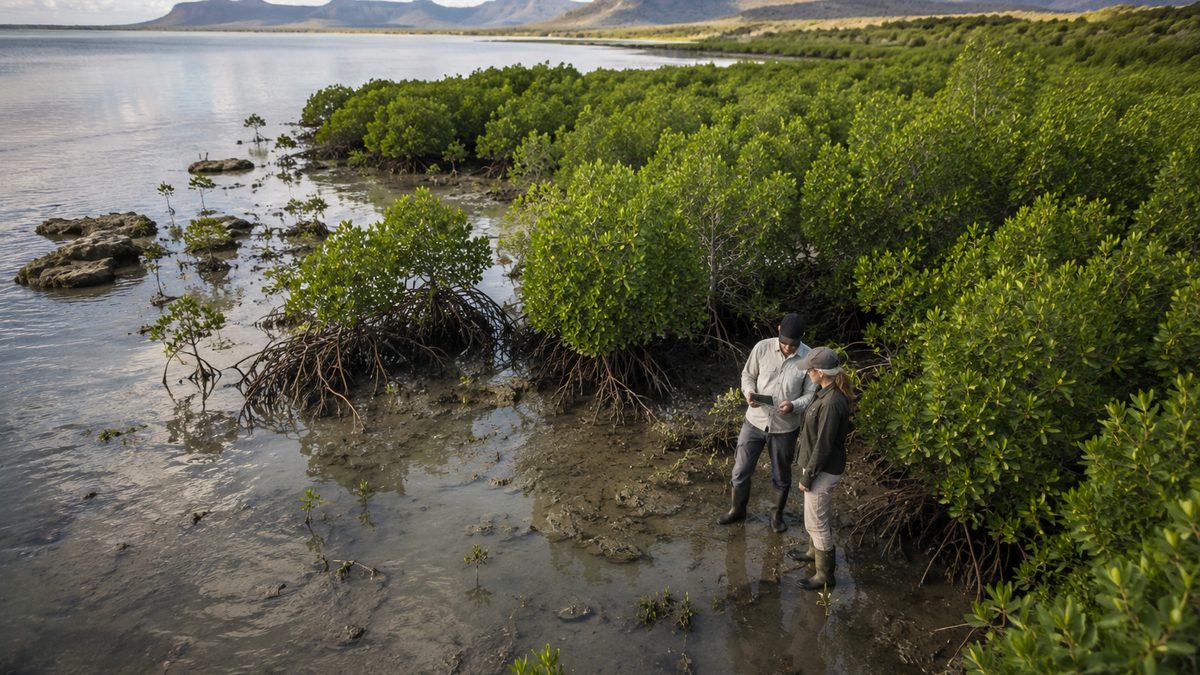
Mangrove forests are easy to overlook until a coast needs protection. They grow where land and saltwater meet, helping hold shorelines in place, shelter wildlife and store carbon in places that are often exposed to storms, erosion and development.
That is why a new satellite-based finding stands out. NASA reported June 4 that four decades of Landsat observations show global mangrove coverage has shifted from long-term decline to expansion, with the rebound beginning around 2010. The report is tied to a study published the same day in Science that used Landsat images to build a global record of mangrove extent and canopy cover from 1984 through 2023.
What The Satellites Found
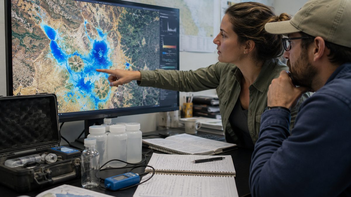
The core of the finding is not a single forest or one restoration project. It is the long record. Landsat, the satellite program run by NASA and the U.S. Geological Survey, has observed Earth’s land surface for decades. In this case, researchers used that record to track where mangroves existed and how dense their canopy cover appeared over time.
NASA highlighted the Padas River estuary in Malaysia as one visible example. Landsat images showed mangrove forest expansion there between 2000 and 2023. The broader study looked globally, using imagery from 1984 to 2023 to measure changes across many regions instead of relying only on scattered local records.
That matters because mangroves can change slowly, and short-term snapshots can miss the direction of travel. A damaged area may regrow. A protected area may expand. Another coastline may keep losing trees because of storms, erosion, pollution, deforestation or development pressure. A four-decade satellite record gives researchers a clearer way to separate long-term movement from temporary noise.
Why Mangroves Matter Beyond The Map
Mangroves are not just another green patch on a satellite image. They sit in coastal zones where people, water, weather and wildlife often collide. Their roots can help stabilize shorelines. Their forests provide habitat for coastal species. Their soils and trees store carbon in places where land is constantly shaped by tides and storms.
For readers who do not follow ecology closely, the practical point is simple: a mangrove forest can be part of a coast’s natural defense system. It does not replace emergency planning, strong building standards or careful land-use decisions. But when mangroves are healthy, they can add resilience to shorelines that face pressure from weather and water.
That is what makes the new finding notable. Environmental news often focuses, correctly, on loss. This report points to measurable recovery in a major coastal ecosystem. It does not erase the damage already done, and it does not prove every conservation policy worked everywhere. It does show that some ecosystems can recover when protection, natural regrowth and monitoring line up.
A Hopeful Finding, Not A Clean Victory
The careful part of the story is just as important as the hopeful part. NASA’s report describes a global shift from decline to expansion, but that does not mean mangroves are fully recovered. The rebound is uneven by region, and the same forces that damaged mangrove forests in the past have not disappeared.
Storms can break or drown coastal forests. Erosion can change the shape of shorelines. Pollution can weaken ecosystems. Deforestation and development can remove mangroves directly. Sea-level pressure can also test whether today’s gains hold over time. The study gives researchers a clearer view of what has changed, but it does not settle how durable the rebound will be.
It also remains unclear which conservation policies contributed most in different regions. Some gains may reflect direct protection or restoration. Others may come from natural regrowth, changing sediment patterns or local conditions that vary from coast to coast. The satellite record can show where forests expanded or contracted. Explaining why each region changed requires more local evidence.
What To Watch Next
The next question is whether the gains continue. Future satellite records can show whether mangrove expansion holds up as storms, development, pollution and sea-level pressure keep testing coastal regions. Researchers and coastal managers will also be watching which areas keep improving, which fall back into decline and which policies appear to make a measurable difference.
For now, the finding offers a rare environment story with room for cautious optimism. It shows that long-term monitoring can reveal recovery, not only damage. It also shows why the details matter: mangroves may be rebounding globally, but their future will still depend on what happens coast by coast.
Reporting note: Reporting draws on NASA science reporting, Landsat satellite observations, peer-reviewed research, public scientific materials, and reviewed background materials. This article was produced with AI-assisted research and reviewed by an editor before publication.