A Floating Raft of Volcanic Rock Is Spreading Across the Pacific
Satellite observations show a large pumice raft drifting across the Pacific after an undersea volcanic eruption, offering scientists a window into how volcanic activity can affect marine environments and coastal communities.
Save Article
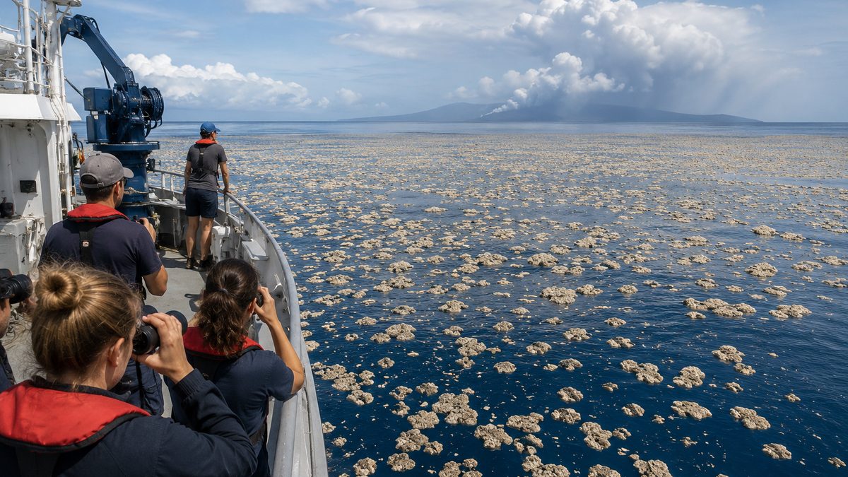
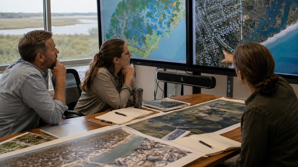
Floating pumice rafts can travel long distances after underwater volcanic eruptions. Editorial illustration by TheDailyGlobe.
Key Facts
- An undersea volcano near Papua New Guinea produced a large floating pumice raft.
- NASA satellite imagery captured signs of the eruption and the spreading pumice field.
- Pumice is a volcanic rock that can float because it contains many gas-filled holes.
- Large pumice rafts can travel long distances with ocean currents.
- Scientists continue monitoring the raft's movement and potential environmental effects.
Most people expect volcanic eruptions to produce ash clouds, lava flows, or dramatic mountains. Far fewer realize that some eruptions can create floating fields of rock large enough to drift across entire sections of the ocean.
That is what scientists have been tracking in the Pacific after an undersea volcanic eruption near Papua New Guinea produced a massive pumice raft visible from space. Satellite imagery captured evidence of the eruption along with discolored water and large areas of floating volcanic material spreading across the ocean surface.
The event offers a reminder that volcanic activity does not stop at the shoreline. Even eruptions that occur underwater can influence shipping routes, fishing activity, marine ecosystems, and coastal communities located hundreds of miles away.
How Rock Can Float on Water
At first glance, the idea sounds impossible. Most rocks sink immediately when dropped into water. Pumice is different because it forms during explosive volcanic eruptions when gas becomes trapped inside rapidly cooling molten rock.
The result is a stone filled with countless tiny air pockets. Those pockets can make pumice light enough to float, sometimes for months or even years before becoming waterlogged and eventually sinking.
When a large eruption produces enormous quantities of pumice, the floating fragments can gather into broad rafts that cover substantial areas of the ocean surface.
What Satellites Observed
Scientists often rely on satellites to track volcanic activity in remote parts of the world, especially when eruptions occur far from population centers. In this case, satellite imagery provided a wide view of the eruption's effects.
Researchers observed volcanic plumes, changes in ocean coloration, and the expanding distribution of floating pumice. These observations help scientists estimate the size of the event and monitor how ocean currents move the material over time.
Without satellites, following a drifting pumice raft across thousands of square miles of ocean would be far more difficult. Space-based monitoring allows researchers to repeatedly revisit the same area and track changes as conditions evolve.
Why Coastal Communities Pay Attention
A floating pumice raft is not necessarily a disaster, but it can create practical challenges. Dense concentrations of floating rock can interfere with small boats, fishing operations, and harbor activities in some locations.
Ocean currents can carry pumice long distances, sometimes bringing it ashore on islands or coastlines far from the original eruption. Communities may find beaches covered with volcanic stones months after the event occurred.
At the same time, pumice rafts can transport marine organisms. Small plants, invertebrates, and other sea life may attach themselves to floating pumice and travel across large stretches of ocean. Scientists continue studying how these natural rafts influence the movement of species between regions.
What Scientists Are Still Learning
Several important questions remain unanswered. Researchers continue tracking the raft's size, direction, and long-term effects. Ocean currents, storms, and changing weather conditions can alter where the material eventually travels.
Scientists are also studying how much pumice was produced and how long significant portions of the raft will remain afloat. Those answers may take months to develop as monitoring continues.
The available observations show where the pumice is moving, but they cannot fully predict exactly which coastlines may eventually encounter the drifting material.
What Happens Next
Researchers will continue using satellites and ocean monitoring systems to follow the raft's movement across the Pacific. Future observations may reveal whether it breaks apart into smaller fields or remains concentrated as it drifts with major currents.
For most people, the story is a fascinating example of how interconnected Earth's systems can be. An eruption hidden beneath the ocean surface can create floating rock visible from space, influence marine environments, and eventually affect communities far beyond the volcano itself. The eruption may be over, but the journey of its volcanic debris is still unfolding.
Reporting note: Reporting draws on NASA satellite observations, scientific monitoring of volcanic activity, earth science reporting, and reviewed background materials. This article was produced with AI-assisted research and reviewed by an editor before publication.