NASA Satellite Images Show How Fire Monitoring Helps Communities Plan Ahead
NASA’s latest satellite view of prescribed fires in Australia shows how space-based data can help explain fire activity, smoke and land-management choices before danger grows.
Save Article
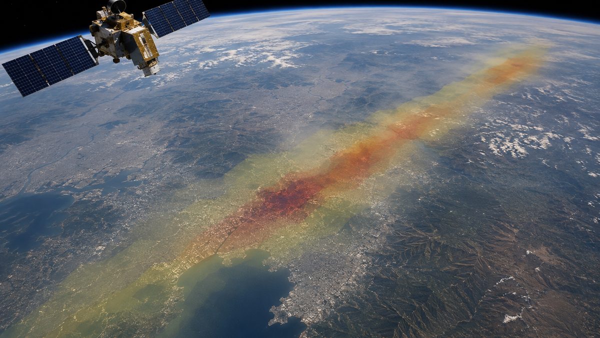
Satellite data can help communities understand fire activity before it becomes a larger danger. Editorial illustration by TheDailyGlobe.
Key Facts
- NASA Earth Observatory published “Fighting Fire With Fire” on June 5, 2026.
- The image story used MODIS data from NASA’s Aqua satellite.
- NASA said prescribed burns in Australia’s Northern Territory are used to reduce fuel loads and help limit more destructive fires later in the dry season.
- NASA’s fire data resources track active fires and thermal anomalies observed by satellites.
- NASA’s source list connects the image story to research on savanna fire management and satellite observations.
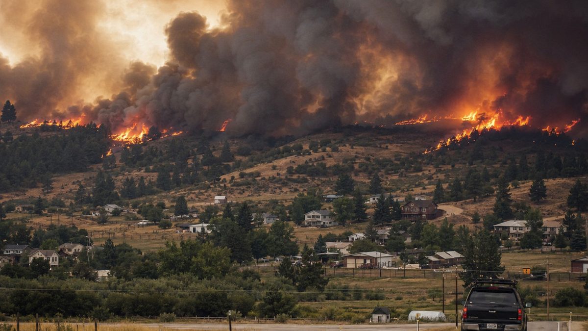
For communities that live with fire season, the goal is not only to respond after flames spread. It is also to understand where fire is happening, where smoke is moving, how dry land is being managed and which choices may reduce the chance of a more destructive burn later.
That is where satellite technology becomes more than a space story. NASA’s latest Earth Observatory image feature, published June 5, shows prescribed fires in Australia’s Northern Territory and explains how planned burning can be part of fire management before the driest part of the season arrives.
What NASA’s Image Shows
The NASA feature focuses on fires in Australia’s Northern Territory, a region where prescribed burning has been used as one tool to manage savanna landscapes. The satellite view came from MODIS, an instrument aboard NASA’s Aqua satellite that can detect fire activity and smoke patterns from above.
For readers, the useful point is simple: not every fire seen from space is an uncontrolled wildfire. Some burns are intentionally set by land managers under planned conditions. The purpose, according to NASA’s explanation, is to reduce the amount of burnable material on the land before later-season fires become harder to manage.
That distinction matters because satellite images can be easy to misunderstand without context. A plume of smoke may signal danger, but it may also be part of a planned land-management strategy. The technology helps show what is happening. People on the ground still have to interpret it, plan around it and decide what action makes sense.
Why Satellite Fire Data Matters
NASA’s fire data tools, including Earthdata FIRMS, help researchers, emergency planners and the public track active fire detections from satellites. These systems do not replace local fire crews, weather forecasts, evacuation planning or land-management knowledge. They add another layer of information.
That layer can be especially helpful because fire is not just a line of flames. It is also heat, fuel, wind, smoke, timing and terrain. Satellite observations can help show where fire activity is occurring across large areas that may be difficult to monitor from the ground alone.
For communities in fire-prone places, better monitoring can support better questions: Is this smoke from a planned burn or a new wildfire? Is fire activity increasing in a region? Are conditions changing quickly? Where might local officials need more information before making public-safety decisions?
Prescribed Fire Is Not One-Size-Fits-All
The NASA image story is about a specific place and a specific fire-management context. It should not be read as a blanket argument that prescribed burning works the same way everywhere.
Fire strategies depend on weather, ecosystems, fuel conditions, public health concerns, nearby communities, local knowledge and the capacity to manage a burn safely. A practice used in one landscape may not transfer neatly to another. Smoke can also create health concerns, even when a fire is planned.
That is why the technology is best understood as a decision-support tool, not a decision-maker. Satellite imagery can reveal fire activity. It can show patterns over time. It can help researchers and planners compare what is happening across large areas. But it does not answer every local question by itself.
What Readers Should Watch Next
As fire seasons become a larger public-safety concern in many regions, satellite fire data is likely to become more visible in everyday reporting, emergency planning and land-management debates. The important question will be how that data is used.
A clear satellite image can make fire activity easier to see. Careful explanation makes it easier to understand. The value comes when those two pieces work together: technology showing what is happening from above, and people on the ground using that information with local judgment.
NASA’s June 5 image is a reminder that space technology often has a practical job here on Earth. It can help communities see fire sooner, understand smoke more clearly and think about risk before the worst-case moment arrives.
Reporting note: Reporting draws on NASA Earth Observatory materials, NASA fire data resources, peer-reviewed fire-management research, and reviewed background materials. This article was produced with AI-assisted research and reviewed by an editor before publication.