NOAA Mapping Mission Shows Why Old Waterway Charts Still Matter
NOAA says a Great Lakes mapping mission will update chart data in areas that have not been surveyed since the 1940s, a reminder that waterway maps still need modern science.
Save Article
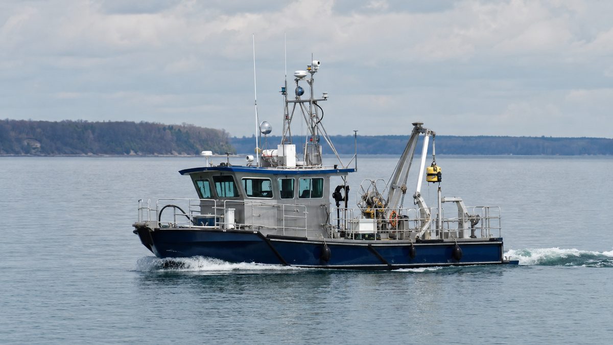
Modern survey work helps update charts used for navigation, shipping, and waterway safety. Editorial illustration by TheDailyGlobe.
Maps do not stay useful forever just because they were accurate once. Roads change, shorelines shift, lake bottoms move, and the tools used to measure them get better over time.
That is the practical idea behind a NOAA mapping mission now drawing attention in the Great Lakes. NOAA featured the return of the NOAA Ship Thomas Jefferson to the region for survey work that the agency said will chart some areas for the first time since the 1940s.
What NOAA Is Updating
The Thomas Jefferson is part of NOAA’s hydrographic survey work, which helps build and update nautical charts. Those charts are used for marine transportation and navigation, including on major waterways where commercial traffic, recreation and public safety all depend on reliable information.
NOAA’s navigation services support nautical charting and safe marine transportation. In plain English, that means survey crews collect information that helps mariners understand water depth, underwater features and other conditions that matter when vessels move through lakes, rivers, harbors and coastal waters.
Why Old Charts Still Matter
Most people now think of maps as phone apps. Waterway charts are different. They help guide ships, workboats and recreational vessels through places where the bottom cannot be seen from the surface.
Updated chart data can support shipping, emergency planning, infrastructure work and safer navigation. The Great Lakes are not just scenic water. They are working waterways tied to communities, ports, supply chains and recreation across several states.
The key point is not that NOAA has identified a specific danger in the areas being surveyed. The available information does not establish that. The point is that modern survey work can replace older measurements with better data, especially in places where charting has not been refreshed for decades.
What To Watch Next
Some details still need NOAA’s full mission updates, including the exact survey areas, timeline and when updated chart products may become available to the public.
For now, the mission is a useful reminder that science infrastructure is often quiet but important. Before a chart appears on a screen or in a navigation system, someone has to measure the waterway carefully enough for others to trust it.
Reporting note: Reporting draws on NOAA mission information, NOAA navigation and charting materials, official hydrographic survey context, and reviewed background materials. This article was produced with AI-assisted research and reviewed by an editor before publication.