New Satellite Method Aims to Improve Methane Emissions Tracking
Researchers say a machine-learning framework called CH4Vision could help estimate methane emissions from satellite imagery, though wider validation is still needed.
Save Article
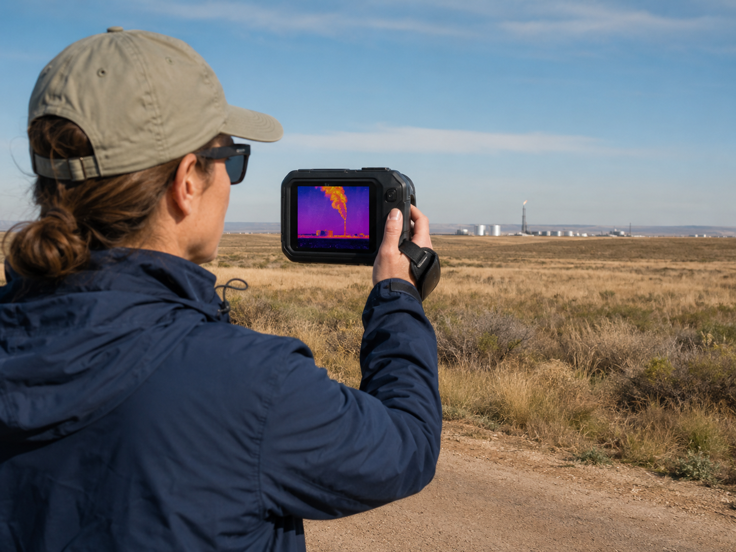
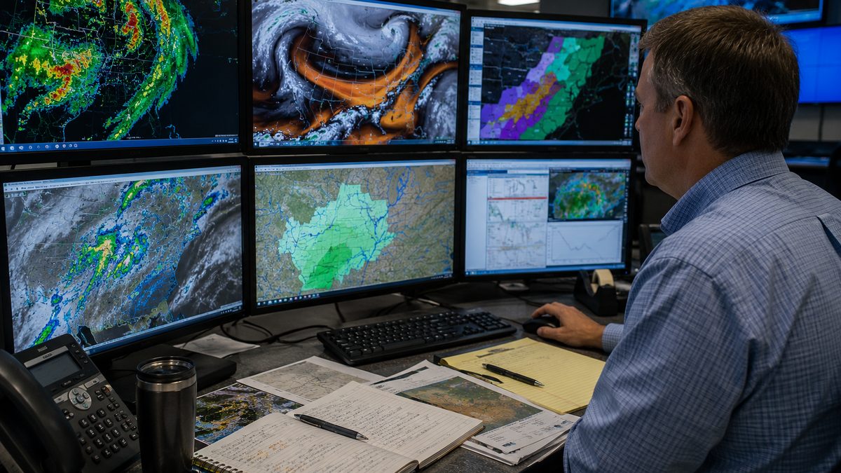
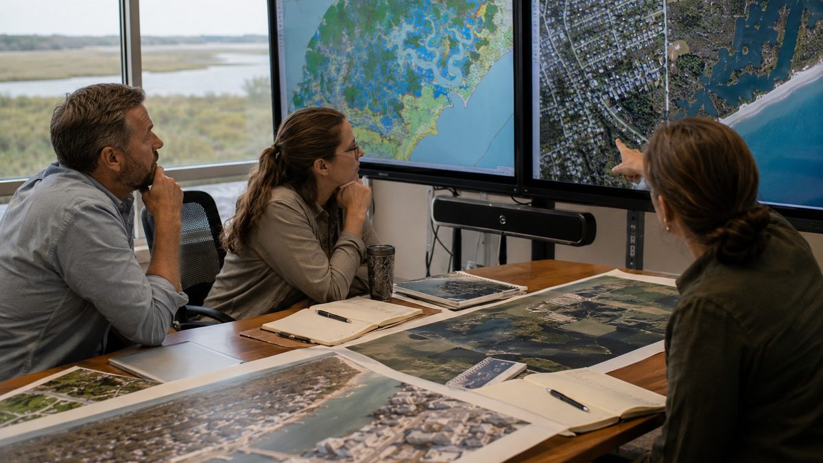
Researchers are testing ways to use satellite data and machine learning to improve methane-emissions estimates. Editorial illustration by TheDailyGlobe.
Methane leaks can be powerful climate problems, but they are not always easy to measure from the ground.
That measurement gap matters because methane is a potent greenhouse gas, and cutting emissions depends first on knowing where they are coming from and how large they are. A new remote-sensing study points to one possible way to sharpen that picture from orbit.
Researchers reported a methane-monitoring framework called CH4Vision, designed to estimate methane flux from hyperspectral satellite imagery. The work was published in the Journal of Remote Sensing.
How the Method Works
CH4Vision combines several pieces of information that can appear in satellite observations, including the shape of a methane plume, concentration patterns, and machine-learning analysis. The goal is to estimate not only that methane is present, but how much is being released.
That distinction is important. Detecting a plume can identify a possible emissions source. Estimating methane flux can help researchers, regulators, companies, and communities understand the scale of the problem.
Why Better Tracking Matters
Methane can come from oil and gas operations, landfills, agriculture, and other sources. Better measurement can support climate policy, help companies verify emissions claims, and give communities near emissions sources clearer information.
Satellite monitoring is becoming more important because it can cover large areas that would be difficult to inspect source by source on the ground. Machine learning may help make that data more useful, especially when researchers need to interpret complex plume shapes and changing atmospheric conditions.
What Still Needs Testing
The method should not be read as a universal enforcement system. It is a technical research framework, and validation across different satellites, landscapes, weather conditions, and methane sources remains important.
The next questions are practical: how well the framework performs outside controlled study conditions, whether it can be used consistently across monitoring programs, and whether regulators or industry groups adopt similar tools. For now, the clearest takeaway is that climate accountability starts with measurement, and researchers are building sharper ways to measure from above.
Reporting note: Reporting draws on a Journal of Remote Sensing release, a peer-reviewed remote-sensing study, climate-monitoring research, and reviewed background materials. This article was produced with AI-assisted research and reviewed by an editor before publication.