NASA AI Tool Could Help Communities Track Harmful Algal Blooms
NASA says a new AI tool can combine satellite data to help detect harmful algal blooms, but local testing remains part of protecting public health.
Save Article
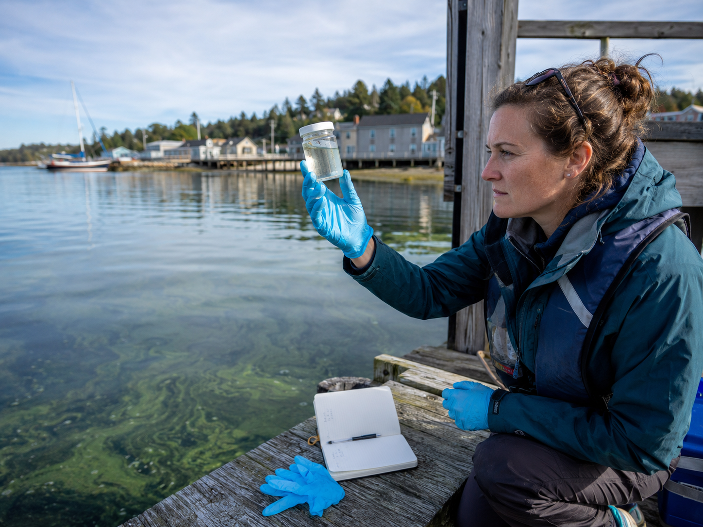
NASA says a new AI tool can combine satellite data to help detect harmful algal blooms, but local testing remains part of protecting public health. Editorial illustration by TheDailyGlobe.
Key Facts
- NASA said scientists developed an AI tool that fuses data from multiple satellites to detect harmful algal blooms.
- NASA said the tool was tested on blooms in western Florida and Southern California.
- NASA said severe blooms can pose health risks and cost coastal economies tens of millions of dollars annually.
- NASA said researchers are improving the tool with more data from more coastlines and expanding tests to lakes.
- The tool is not described as a replacement for water sampling or public-health testing.
NASA scientists are developing an AI tool that could help communities spot harmful algal blooms by combining information from multiple satellites, a step that may give local officials another way to watch coastal waters before problems become harder to manage.
The tool is not being described as a replacement for water sampling or public-health testing. NASA says researchers are still improving it with more data from more coastlines and are expanding tests to lakes.
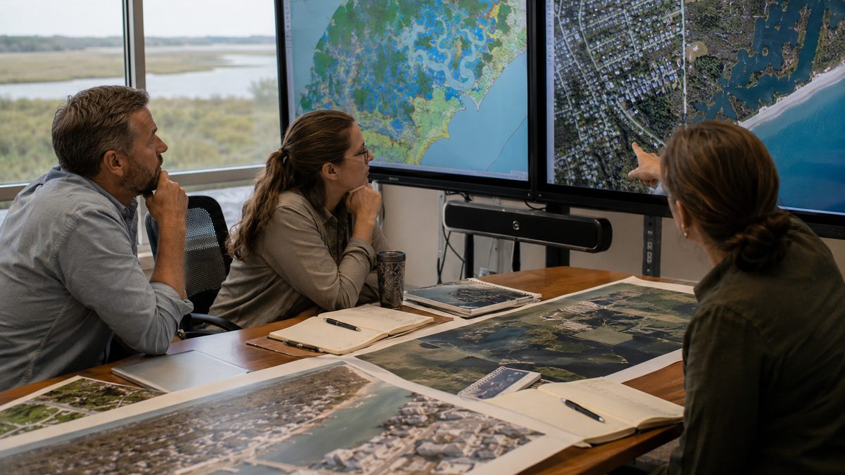
That balance matters. Harmful blooms can affect public health, wildlife, beach access, fishing and tourism. Better satellite monitoring may help communities see where trouble is developing, but decisions about warnings and closures still depend on local agencies, field checks and public-health judgment.
Why Harmful Blooms Matter
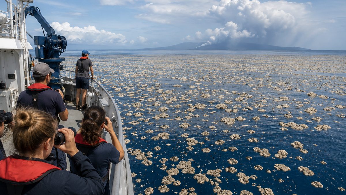
Algal blooms are not all the same. Some are mostly a nuisance. Others can produce toxins or create conditions that harm fish, shellfish, marine mammals, pets and people.
For coastal communities, the effects can move quickly from science to daily life. A bloom can affect whether families go to the beach, whether shellfish areas are closed, whether tourists cancel plans and whether local officials need to increase water testing.
NASA said severe blooms can pose health risks and cost coastal economies tens of millions of dollars annually. That makes detection more than an environmental issue. It can also become a local business, public-health and community planning issue.
How Satellites and AI Fit Together
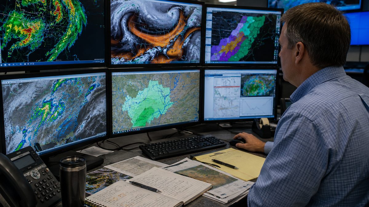
Satellites can observe large areas of water far more quickly than people can sample by boat. They can help scientists identify color, light and surface patterns that may point to bloom activity.
NASA said the AI tool fuses data from multiple satellites to detect harmful algal blooms. In plain English, the system is meant to combine different streams of satellite information so researchers can get a clearer view than they might from one instrument alone.
NASA's PACE mission is part of the broader context for this kind of work. PACE is designed to study ocean color, aerosols and clouds, giving scientists more information about ocean ecosystems and the atmosphere.
Why Field Testing Still Matters
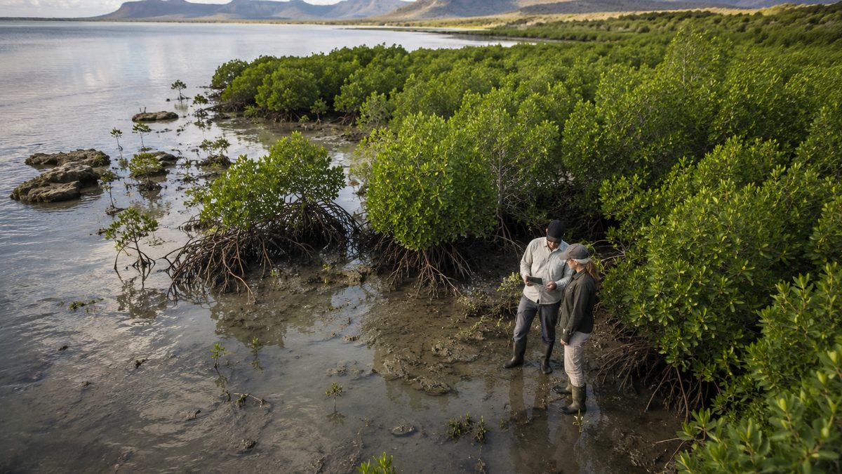
Satellite data can point scientists and agencies toward areas of concern, but it does not remove the need for local confirmation. Water sampling, lab testing and public-health review remain important because bloom conditions can vary by location, species and toxin level.
That is why the most realistic use of the tool is as part of a monitoring system, not as a stand-alone decision-maker. A satellite-based alert may help officials know where to look, but local health agencies still need evidence before telling the public what is safe.
NOAA already provides harmful algal bloom forecasting background and related monitoring tools. NASA's work adds another piece to the larger effort to understand where blooms are forming and how communities might respond.
Where NASA Tested the Tool
NASA said the tool was tested on blooms in western Florida and Southern California. Those regions give researchers real-world coastal conditions for checking how well satellite and AI methods can identify bloom patterns.
NASA also said researchers are improving the system with more data from more coastlines and expanding tests to lakes. That is an important limitation: a tool that works in one region or water body may need more testing before it can be used broadly elsewhere.
For readers, the useful point is that environmental monitoring is becoming more layered. Satellites, AI models, field scientists and local officials may all play different roles in understanding the same water problem.
What the Tool Can and Cannot Do
The tool could help researchers and communities detect harmful algal blooms earlier or more consistently across large areas. That could be useful for planning water sampling, watching coastlines and understanding how blooms change over time.
But the source material does not support treating the tool as a finished public-warning system for every community. It is still being improved and expanded before broader decision-maker use.
That distinction keeps the story grounded. AI may help scientists sort satellite data faster and more effectively, but public-health decisions still require careful confirmation and local context.
What Remains Unclear
It remains unclear how quickly the tool could be used by more local agencies or coastal managers. NASA says researchers are still adding data from more coastlines and testing the approach in lakes.
It is also unclear how the tool would fit into every existing warning system. Communities differ in their water-testing capacity, public-health rules, coastal conditions and exposure to harmful blooms.
For now, the clearest takeaway is that AI and satellite data may help communities see harmful blooms sooner, but they are most useful when paired with on-the-water science and public-health review.
Reporting note: Reporting draws on NASA Earth science materials, NASA PACE mission context, NOAA harmful algal bloom forecasting background, and linked research materials. This article was produced with AI-assisted research and reviewed by an editor before publication.