NOAA Says El Niño Is Likely to Return, Raising Weather Questions for 2026
Federal forecasters say El Niño is likely to develop during the middle of 2026, but experts caution that many local weather impacts remain uncertain.
Save Article
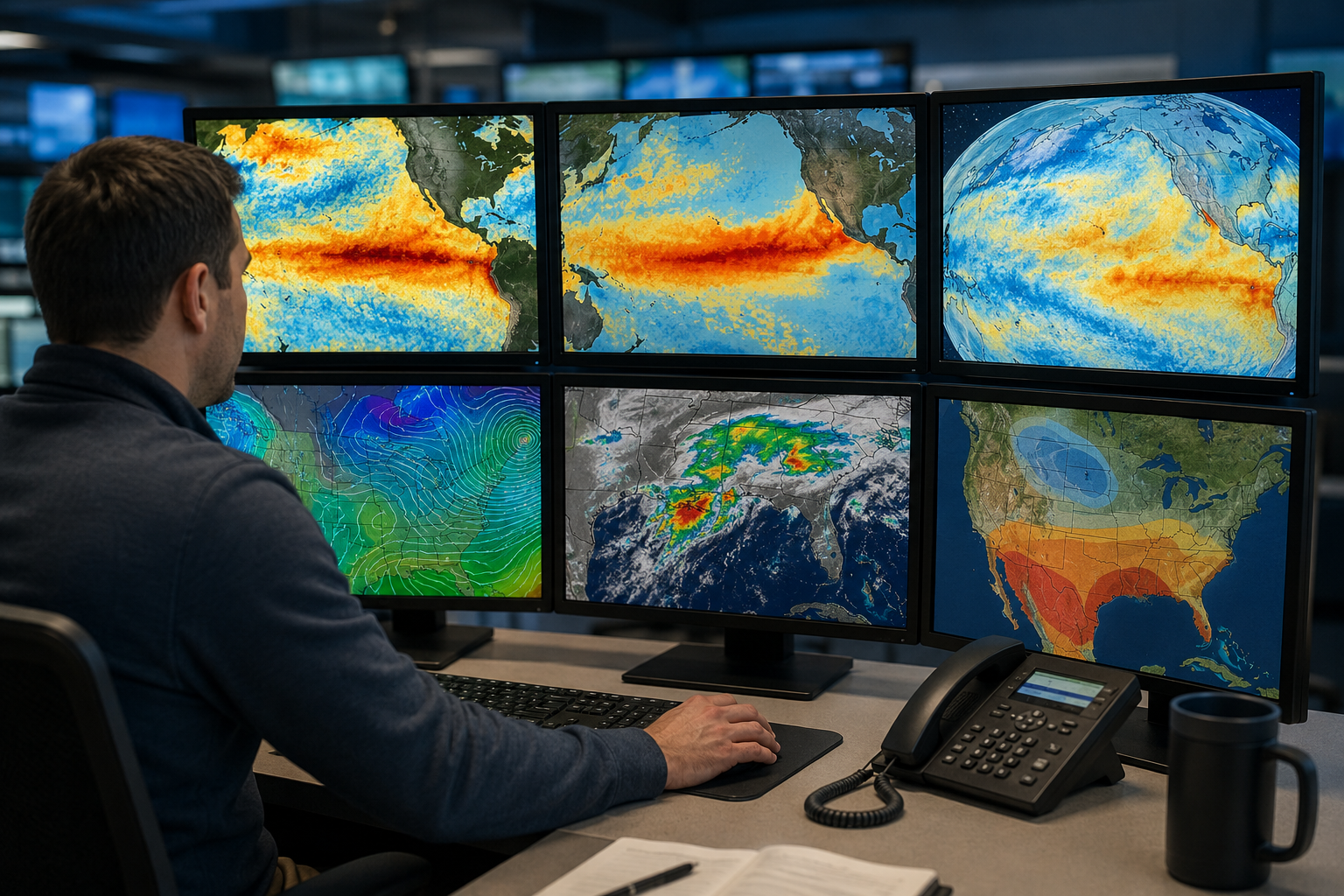
Federal forecasters say El Niño is likely to develop during the middle of 2026, but experts caution that many local weather impacts remain uncertain. Editorial illustration by TheDailyGlobe.
Key Facts
- NOAA says El Niño is likely to emerge during May through July 2026.
- The Climate Prediction Center gave a 61% probability of El Niño developing during that period.
- NOAA said El Niño could persist through at least the end of 2026.
- Climate experts are watching for the possibility of a stronger El Niño event.
- Forecasters say local weather impacts remain uncertain this far in advance.
Federal climate forecasters say El Niño conditions are likely to return later this year, a development that could shape weather patterns across parts of the United States and around the world heading into 2026.
In its latest ENSO Diagnostic Discussion, NOAA's Climate Prediction Center said there is a 61% chance that El Niño will emerge during the May-to-July 2026 period and continue through at least the end of the year.
Scientists and emergency planners closely watch El Niño because it can influence rainfall, temperatures, drought conditions, hurricane activity, and winter weather patterns. But NOAA officials and outside experts caution that an early forecast does not mean specific local weather outcomes are guaranteed.
What El Niño Means
El Niño is part of a broader climate cycle known as the El Niño-Southern Oscillation, often shortened to ENSO. The pattern is driven by changes in sea surface temperatures and atmospheric conditions across the tropical Pacific Ocean.
During El Niño, ocean waters in the central and eastern Pacific become warmer than average. Those temperature shifts can alter atmospheric circulation and influence weather far beyond the Pacific region.
In past El Niño years, some parts of the southern United States have experienced wetter winters, while northern areas have sometimes seen warmer conditions. El Niño can also affect storm tracks, fisheries, drought risk, and global temperature trends.
Still, forecasters emphasize that no two El Niño events are exactly alike. The strength of the event, timing, and interactions with other climate patterns can all change the final outcome.
What NOAA Is Forecasting
NOAA's latest outlook does not say that El Niño has already formed. Instead, forecasters are seeing increasing signs that ocean and atmospheric conditions could shift toward El Niño later this year.
The agency's forecast places El Niño as the most likely scenario for the second half of 2026. NOAA also said the event could continue through the winter months, when El Niño effects on U.S. weather are often more noticeable.
The AP reported that some climate scientists are paying close attention to whether the developing pattern could become a stronger El Niño event. Stronger events can produce more pronounced global weather disruptions, though experts say it remains too early to know how intense this system might become.
The National Weather Service seasonal outlook also points to broad temperature and precipitation trends that are consistent with possible El Niño development. But those outlooks are probabilistic, meaning they describe general tendencies rather than guaranteed conditions for individual cities or states.
What Readers Should Not Assume Yet
Forecasters stress that long-range climate outlooks are not the same as local weather forecasts. A likely El Niño pattern does not automatically mean every region will experience the same effects seen during previous events.
For example, some past El Niño winters brought heavy rain to California and the southern United States, while others produced weaker or uneven impacts. Local drought conditions, short-term weather systems, and changing ocean temperatures can all affect how the pattern plays out.
NOAA has also not issued specific predictions for individual storms, heat waves, flooding events, or snowfall totals tied to this forecast. Scientists say those details become clearer closer to the season itself.
Climate researchers generally have greater confidence in broad regional trends than in precise local outcomes months ahead of time.
Why Forecasters Watch ENSO Closely
ENSO conditions are among the most important climate signals used in seasonal forecasting. Governments, utilities, farmers, water managers, insurers, and emergency planners often use ENSO outlooks to prepare for possible shifts in rainfall, wildfire conditions, agriculture, and energy demand.
The Pacific Ocean pattern can also influence hurricane seasons in both the Atlantic and Pacific basins. Historically, El Niño conditions have sometimes been linked to reduced Atlantic hurricane activity because of increased wind shear, though NOAA has not yet connected this specific outlook to detailed hurricane forecasts.
Scientists will continue monitoring ocean temperatures, atmospheric pressure patterns, and trade winds over the coming months. NOAA regularly updates its ENSO outlooks as new data becomes available.
For now, forecasters say the latest outlook is best viewed as an early warning sign of a changing climate pattern rather than a definitive prediction of how weather will unfold in every region during 2026.
Reporting note: Reporting draws on NOAA Climate Prediction Center materials, National Weather Service outlook documents, AP reporting, and reviewed background climate context. All claims This article was produced with AI-assisted research and reviewed by an editor before publication.